Marine weather and route planning for every boater — one map, three forecast sources

Marine Weather combines open nautical charts with forecasts from MET Norway, SMHI, and FMI — rain radar, lightning, national marine weather summaries, premium route planning with AIS ship positions, and offline route packs you can download in harbour before you leave.

  • Compare wind now and +3 / +6 / +12 h at any point on the map
  • Official-style planning charts (Traficom) with MapLibre
  • Clear status when data is offline, cached, or getting old
  • English, Finnish, Swedish, and Norwegian Bokmål in the app

Planning aid only — not a replacement for official charts, certified AIS equipment, or regulations.

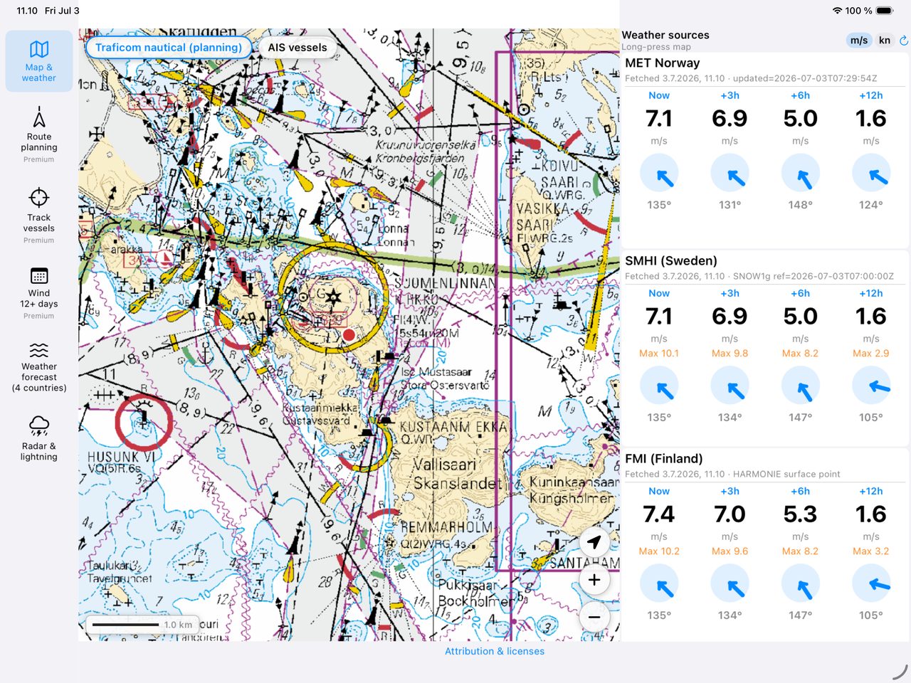
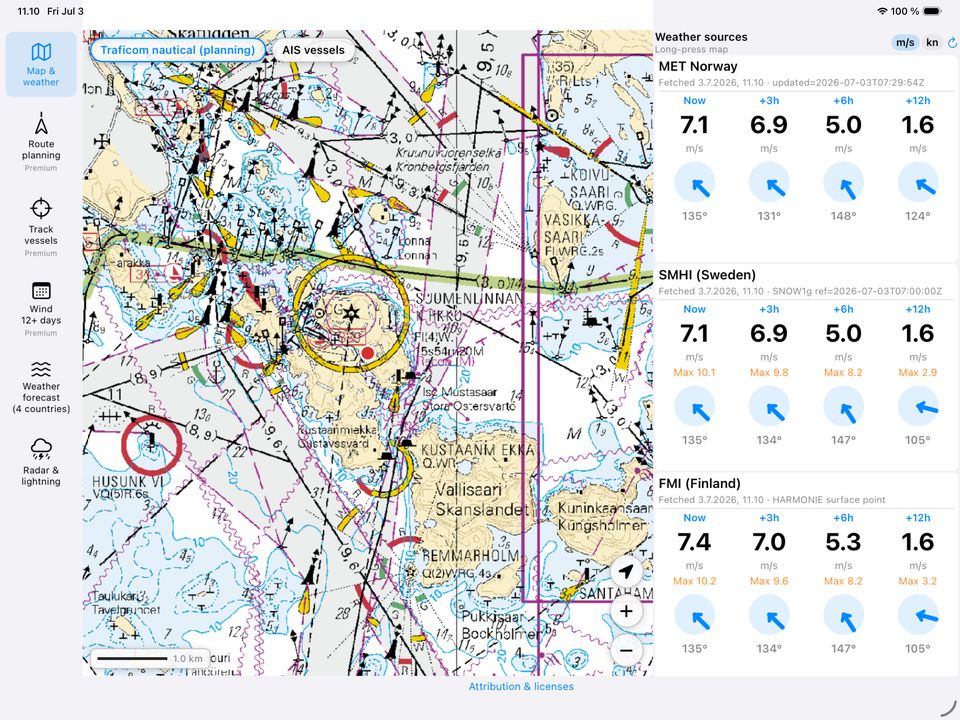
Map with MET Norway, SMHI and FMI forecast panels

What the app does

Map & weather

Long-press the map to pick a point. See wind speed, direction, and gusts from three national models in one view. Switch between m/s and knots. Forecasts are cached on device so you can still see the last successful fetch when the link is slow or gone.

Rain radar & lightning

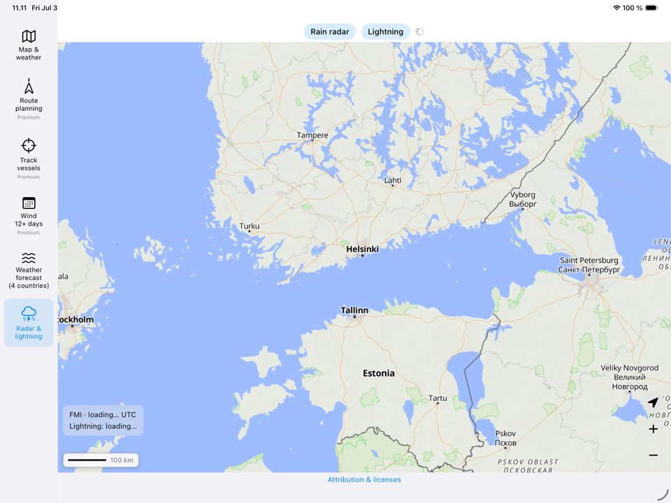
Animated rain radar and lightning strikes from open data (FMI, MET Norway, SMHI). Scrub observations and short forecast on a timeline. Requires network while viewing.

Marine weather (4 countries)

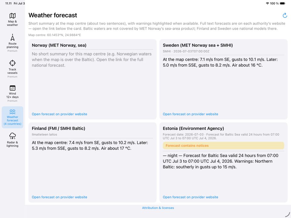
Short sea-area summaries for Norway, Sweden, Finland, and Estonia at the map centre, with links to full forecasts on provider websites.

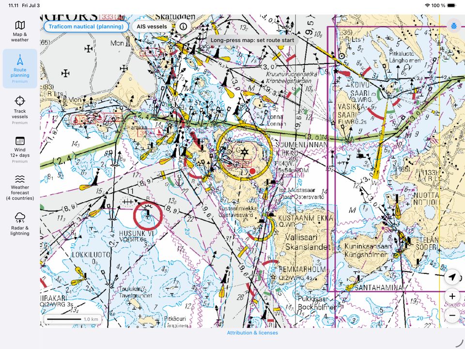
Route planning Premium

Draw a route on the chart, set boat speed, and compare weather at four points along the track (start, third, two-thirds, ETA). Export the route as GPX or a PDF plan with weather notes.

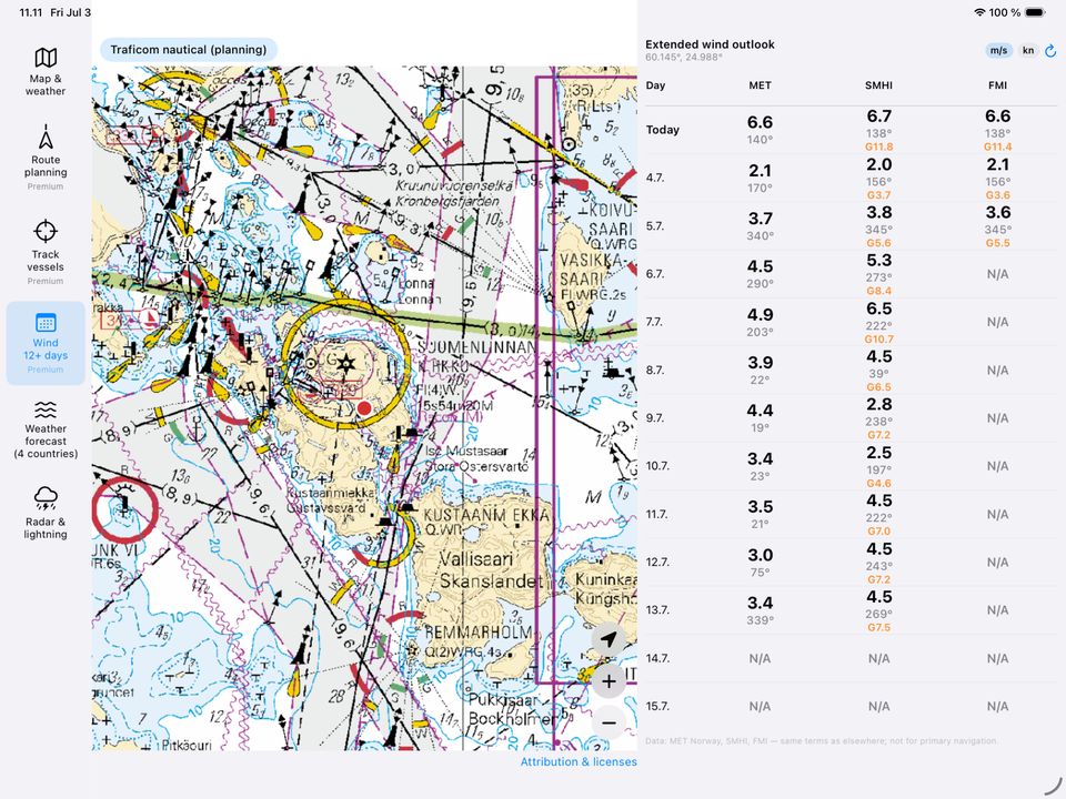
12-day wind outlook Premium

Extended daily wind comparison from MET Norway, SMHI, and FMI for longer-range planning.

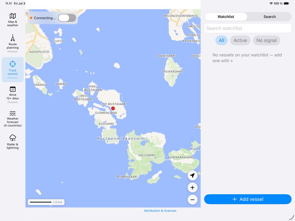
AIS vessel positions Premium

Toggle ship positions from Fintraffic Digitraffic on the map (Compare and Route views). Tap a vessel for speed, course, type, and voyage details. Live data — needs a working connection.

Offline route pack Premium

In harbour on Wi‑Fi: download map tiles and forecasts along your planned route (~every 25 nm, all three weather sources). Use when mobile signal is weak at sea. AIS and rain radar still need network.

Connection & data age

A banner across the app tells you when you are offline, showing saved forecasts, or when data may be outdated (6 h / 12 h). No guessing whether the numbers are live.

No account required

Free features work without signing in. Location stays on your device except when requesting public weather APIs. Premium uses Google Play Billing or App Store In‑App Purchase.


At sea & slow network

Mobile coverage on the Baltic is uneven. Marine Weather is designed so you can prepare in harbour and still use planning data when the link drops — without pretending to be a full offline chart plotter.

Automatic forecast cache

Each time weather loads successfully for a map point, MET Norway, SMHI, and FMI results are stored on your tablet. If the network fails, the app shows the last saved forecast with a clear timestamp.

Status banner

See at a glance: no internet, using cached data, forecast may be stale, or all sources failed. Helps you decide whether to trust the numbers for the next leg.

Download route for offline Premium

After plotting a route, tap Download for offline while you still have Wi‑Fi. The app prefetches chart tiles along the corridor and refreshes weather samples along the track. Best used right before departure from marina or harbour.

Offline packs are a planning convenience: map tiles use the device HTTP cache; weather uses the same on-device store as normal browsing. Live AIS, rain radar, lightning, and marine weather refresh still need connectivity. Always carry appropriate official charts and equipment for navigation.

Screenshots

From the app on Android and iOS — phone and tablet.

Free vs Premium

Free

  • Interactive map & point forecasts (3 sources)
  • Rain radar & lightning
  • Marine weather (4 countries)
  • Wind units m/s or knots
  • Forecast cache & offline/stale status banner
  • Traficom planning chart overlay

Premium Play / App Store

  • Route planning with weather along the route
  • 12-day wind outlook
  • AIS vessel positions on the map (Digitraffic)
  • Offline route pack (map tiles + weather along track)
  • Export route as GPX or PDF
  • 3-day local trial, then one-time purchase or monthly subscription

Premium is optional. Prices are shown in Google Play or the App Store before you buy. Android package: fi.veneappi.app · iOS: fi.veneappi.MarineWeather

Get the app

Marine Weather is available on Google Play (Android) and the App Store (iPhone & iPad).